Drone Services with Scantech International
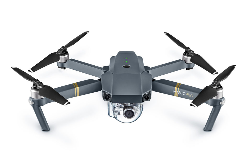
12 Months ago, Scantech acquired a drone which allows us to carry out aerial surveys of large areas as well as areas that are challenging to access from the ground.
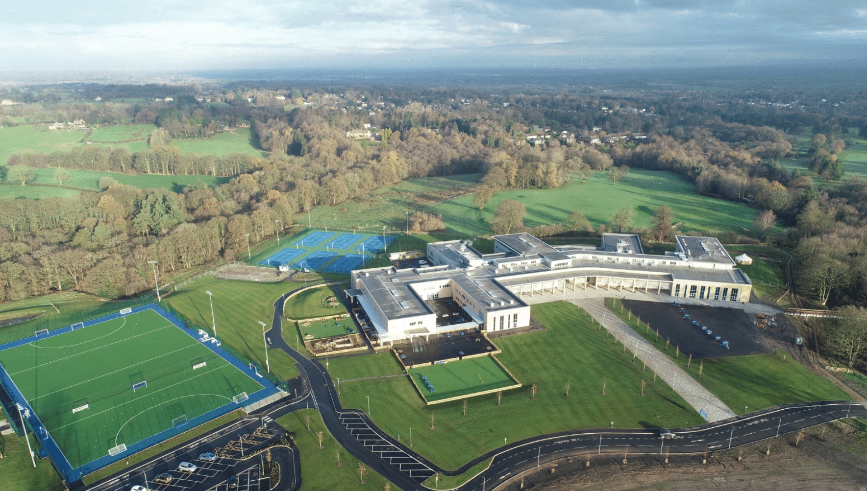
Using a drone allows us in a relatively short amount of time, to capture large amounts of data in areas that aren’t accessible or considerably hard to access. The drone combines high-resolution images as well as GPS coordinates location information to provide you with accurate and reliable data.
Utilising a drone reduces the amount of time required to capture data and consequently results in a very cost-effective solution for many applications.
How much experience do we have & are we a drone surveying company?
Scantech has 15 years’ experience of using Laser Scanning technology to provide accurate engineering and architectural deliverables. We have also applied this experience in producing similar deliverables for the drone or UAV surveys.
The difference between a Drone and a UAV (Unmanned Aerial Vehicle)
Some would argue that there is no difference between the two terms however a drone is more synonymous with flying vehicles that in the past were used for target practice. In reality and for practical use there is no difference as “both” fly and are controlled by either a pilot or on a pre-programmed flight path. There is a push within the industry to try and standardise on the UAV terminology.
Benefits of a Drone Survey / UAV Survey
By utilising our drone with a high-resolution camera, we can carry out surveys of difficult to access areas and structures including:
- Open fields
- Building roofs
- Roads
- Towers
- Chimneys
- Mobile phone masts
- Steel structures
The UAV can capture the data in a fraction of the time taken to survey similar facilities using traditional survey techniques with an EDM or terrestrial laser scanner and are therefore very cost-effective.
Safety advantages of using a Drone
With the ability to reach the most inaccessible, large scale or hazardous areas. Using a drone allows us to minimise the potential risk to health and safety.
We’re able to eliminate the risk of working from a height which is one of the main causes for accidents on a worksite in the construction industry.
Flying a UAV obviously has its own safety protocols, and our highly experienced pilots have all necessary CAA certification and approvals to fly, subject to the approval of the local council and landowner.
What is the accuracy of UAV Surveys?
Depending on the required accuracy you need. We usually quote +/- 20mm for the drone survey which a cost-effective solution and for roof details, this is normally more than sufficient. For surveys of soft features eg, fields. The 20mm accuracy again is usually more than suitable.
What Deliverables do you get from a Drone or UAV Survey?
As with traditional surveying using EDMs and laser scanners, there are numerous deliverables that can be generated form a UAV survey:
- 2D drawings
- 3D models in a variety of formats (AutoCAD, Revit etc)
- Cross Sections
- Topographical drawings
- Videos
- Animations
- Elevational drawings etc
By combining the UAV survey with traditional surveying, we can achieve suitable accuracies for both architectural and engineering requirements.
What can you use Aerial Survey for?
The output from an aerial survey can be used for:
- High-level inspections
- Property and marketing
- Land surveys
- Topographical surveys
- Sporting events
- Festival planning
- Point cloud surveys
What is the cost of a Drone Survey>
For enquiries regarding pricing please apply for a quote Here. We also have a number of specialist applications – please Contact us for more details.