
Land Surveys can be defined as a means to determine the boundaries and features of a parcel of land for any number of purposes.
Our Land Surveyors undertake different types of Land Surveys including :
Construction Surveys – these include simple projects such as installing a new fence to more complex constructions such as buildings
Setting Out Surveys – These take the architects or engineers drawings and set out the locations of the key features such as foundations, building outlines, drains, boundaries
Topographical Surveys – These are covered in the Topographical Surveys Section here
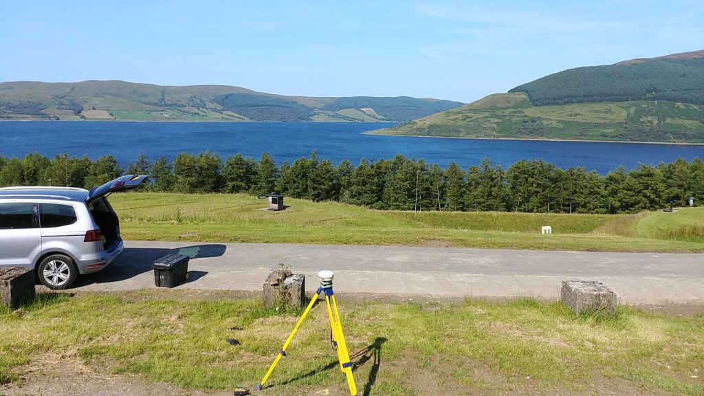
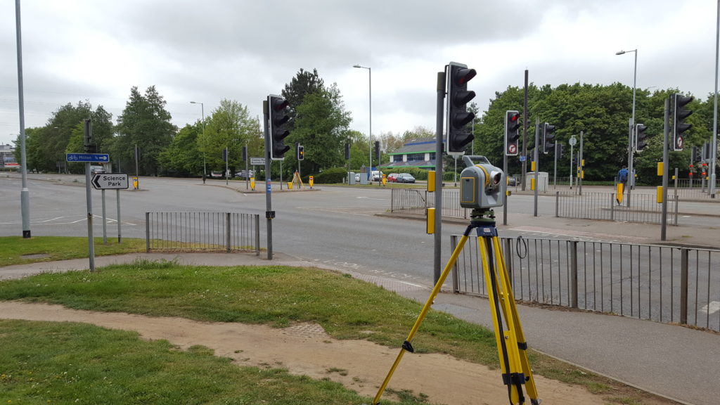
Level Surveys – Often a client will just require a level survey to determine for example the volume of “spoil” to be removed in order to provide a level base for the future building works. We utilise both Total Stations (or EDMs), laser scanners, UAVs and/or a combination of all three depending on the area to be surveyed.