
Whether a site is subject to a change of use or is planned for development, a high quality Topographical Survey and an up to date plan represents an essential basis for assessment, planning and subsequent design works. This plan and its derivatives will most likely be an integral part of the whole development project life-cycle and must therefore be of an appropriate accuracy and detail.
If our client does not have a detailed specification we can provide a Topographic Survey template and we encourage our client’s involvement in the further definition of the survey specification. This may be simply a check-list approach to the level of survey detail or a more detailed specification such as in the RICS Specification Guidelines standard.
Topographic Surveying
Our Topographical Surveyor will utilise the “best” or most appropriate equipment for the area to be surveyed and this can include :
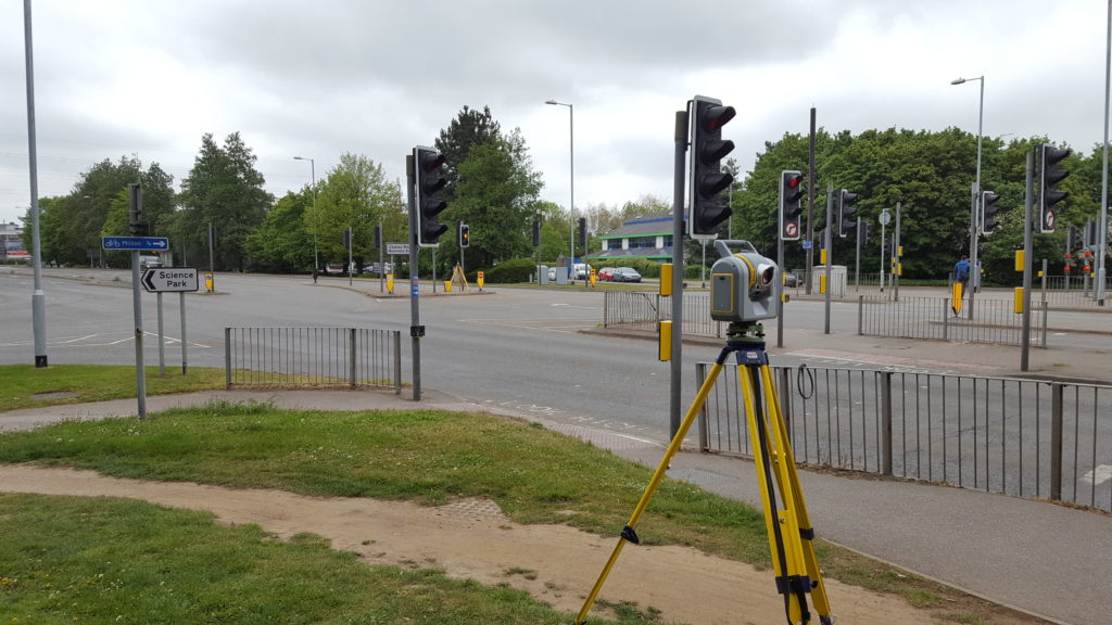
- Laser scanning for areas where building elevations may be required or where access to the highway would require traffic management
- Total Stations to coordinate the scan data and to survey features not captured by the scanner such as manhole covers hidden by vegetation
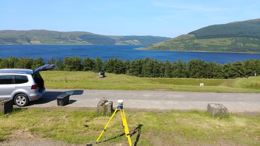
- GPS to orientate the Survey to OS coordinates
Safety on Site
As Topographic Land Surveyors the safety of our surveyors is paramount and when the topographical survey includes roads the use of our laser scanners often eliminates the requirement for traffic management and road closures as we can often work on the pavement. The laser scanner can pick up features that are in the road and avoids the situation often seen where a surveyor will try and pick up for example manhole covers in a road by “dodging the traffic” – never admitted to but often seen.
Presentation of Data
The presentation of data from topographic surveying and mapping will vary from 2D paper plots through to 3D digital models. Prior to any start on site we will agree the deliverable format with the customer to ensure that it is compatible to their software applications and often we will send trial CAD data through to ensure compatibility. We are also available free of charge (within reason) to discuss any problems our clients may have with importing the data into their systems
3D digital terrain models are generated within our Autodesk software from which sectional information and complex volumetric (cut and fill) models can be generated. As this software calculates volumes automatically using a single, intelligent model, it is both extremely fast and accurate. This model creates relationships between objects so that design changes update without further intervention. In other words, a change to one part of the design can propagate throughout an entire project.
Our Quality Management System covers all aspects of the data acquisition, data processing, management and presentation process. A registry of drawing reference and revisions forms the basis of our quality system and all stages of the survey and deliverable works are independently checked by senior management.