Many of the Heritage Surveys we now undertake include listed buildings and these have requirements to capture the data in accordance with the English Heritage specification. If rigorously followed this would impose very strict requirements on the level of detail required from the survey and often we enter discussions with our client and English Heritage to agree a sensible approach to the requirements.
Advantages of using Laser Scanning
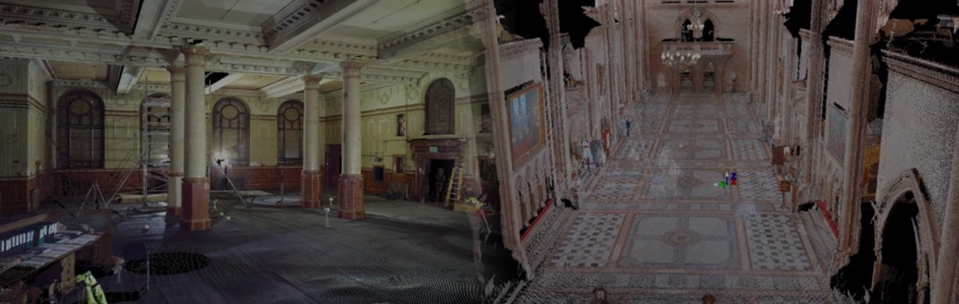
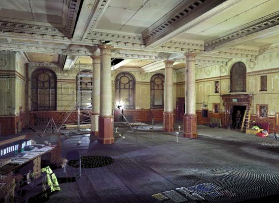
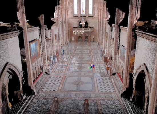
Most buildings that are listed have detailed features that are difficult if not impossible to measure or detail using traditional survey methodologies. Laser scanning allows the features to be accurately captured in sufficient detail and in accordance with the English Heritage specifications.
If during the renovation of a building a feature is damaged the feature can be modelled from the pointcloud data and an accurate repair can be carried out or a replacement produced from the 3D model.
An example of this is the Middlesex Guildhall where a feature was damaged during the conversion to the Supreme Courthouse and the detailed pointcloud allowed the feature to be accurately repaired.
Laser scanning also has the advantage over photographs in that true 3D is captured.
Ortho-Rectified Images
Scanning the elevation of a heritage building or structure allows the true 3D elements to be accurately captured in the form of a pointcloud. We use a high resolution camera to photograph the same elevation and ortho-rectify these using data from the pointcloud to provide 2D images. These can be used to highlight remedial work and also provide an accurate measure of the work required.
Acceptance of Pointcloud Data as a Record
Where heritage buildings or structure have to be demolished laser scanning the structure prior to demolition provides a detailed record of the structure. Combined with high resolution photographs animations can be produced of the structure or building for either record purposes or in for example visitor centres.